
R&D Center / Geospatial Intelligence
See the planet as data
Geospatial Intelligence & Remote Sensing center. Satellite and drone data, environmental monitoring, and ESG analytics for land, water, and air.
From satellites and drones to decisions — we turn Earth observation into answers you can act on.
GeoAI & Computer Vision
Our highest-value, science-heavy work: neural nets on Earth-observation data.
Object detection & vectorization
Automatically find and outline buildings, roads, forests, and water on satellite and aerial imagery.
Change detection
Spot what changed — illegal construction, deforestation, new roads — between any two dates.
Smart agriculture (AgTech)
Classify crops and forecast yields from vegetation indices and weather; catch disease, drought, and weeds from drone imagery.
Environmental & ESG monitoring
Assess disaster damage, map carbon stock and CO₂ absorption, and track water pollution.
Predictive mapping
Forecast flood zones, landslides, and wildfire spread with historical data and AI.
GIS & Spatial Analysis
Foundational, high-demand work for business and government.
Geomarketing
Find the best locations for stores, pharmacies, or developments — using footfall, traffic, population, income, and competitors.
Infrastructure & asset management
Digital registries for cities and corporations — roads, pipelines, and power lines, fully mapped.
Transport & logistics
Optimize delivery routes with traffic, load, and time windows, and monitor fleets in real time.
GIS Development & Integration
Custom software for geospatial data.
Web-GIS & mobile apps
Interactive maps and dashboards, plus field-data apps for surveyors, agronomists, and ecologists.
Enterprise integration
Connect spatial data to your CRM, ERP (SAP/1C), and BI (Tableau/Power BI).
Plugins & automation
Custom QGIS/ArcGIS tools and scripts in Python (PyQGIS, ArcPy).
Data & 3D Modeling
The fuel for GIS and AI.
Digital twins
3D models of cities and industrial sites from LiDAR and photogrammetry.
Drone (UAV) data processing
Orthophoto stitching and digital elevation/terrain models from drone flights.
Geodata engineering
Geocoding, plus parsing, cleaning, and structuring spatial data from OpenStreetMap and government registries.
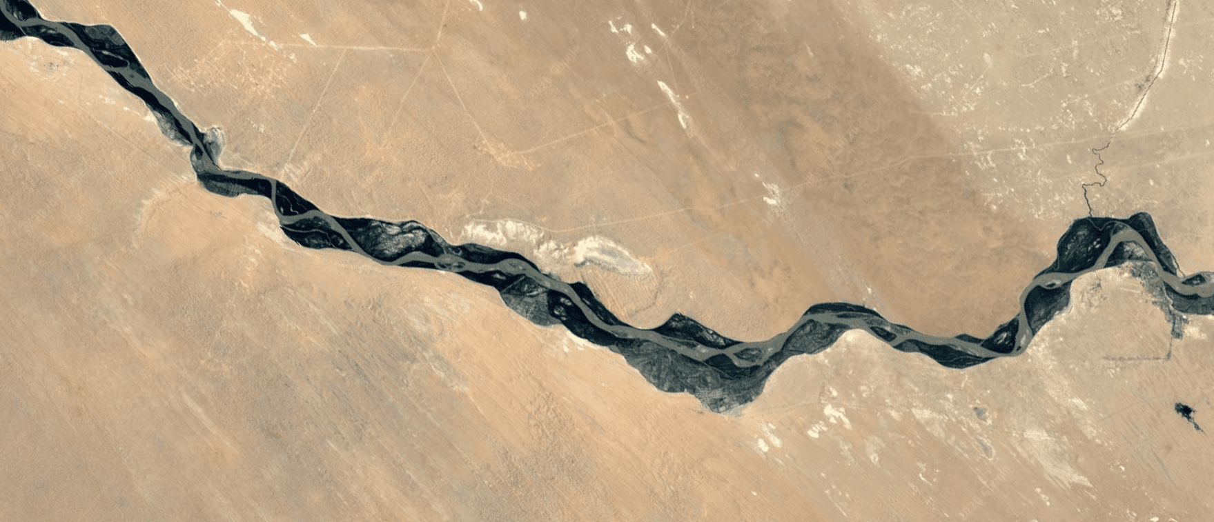
From satellites and drones to decisions you can act on.
Have a geospatial challenge?
Tell us about your land, water, or infrastructure question — or book a call.